Mr Robert Lang (6 to 16 July 2015)
Mr Robert Lang (6 to 16 July 2015)
AST’s 16th OEIR
Mr Robert Lang is a specialist geographer and lead practitioner in the field of Geographical Information Systems (GIS). He is involved in developing innovative projects and resources using GIS, and shares this knowledge with students, teachers and organisations such as the Royal Geographical Society, Prince’s Teaching Institute and Birmingham University. He is the winner of the Royal Geographical Society Ordinance Survey Award for Excellence in Secondary Teaching, as well as the Geographical Association (GA) Secondary Geography Quality Mark Centre of Excellence Award.
A geography teacher with ten years of experience, Robert has held curriculum management positions in King Edward VI Five Ways School, Birmingham, United Kingdom. Alongside his teaching work, Robert is also a member of professional associations such as the Royal Geographical Society and Chartered Geographer. He has also published articles in journals such as Teaching Geography (2011), Geography Association (2012) and Unterricht (2012).
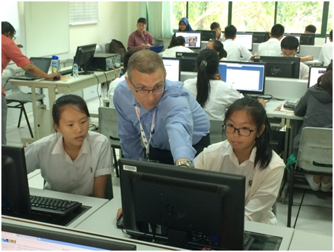
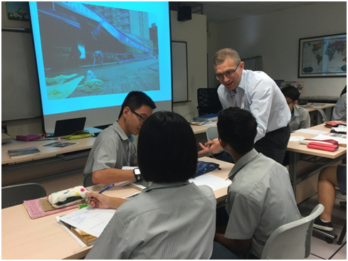
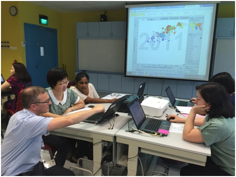
During his attachment in Singapore, Robert conducted lessons at two schools: Tanjong Katong Secondary School (TKSS) and Bowen Secondary School (BSS). BSS had not explored the use of GIS in the teaching of geography until Robert’s class, while TKSS students are familiar with the use of GIS, having dabbled with it in their geography lessons. It was no surprise to see the high level of engagement among the BSS students in their lesson with the use of GIS for the first time, and Robert showed that when used appropriately, GIS could help students think critically and develop both global and civics literacies. Robert went on to conduct four Master Classes to help our educators incorporate GIS and visualisations into their teaching of geography. Robert modelled the use of visualisation tools such as Gapminder World and guided participants through a hands-on session on how ArcGIS online could facilitate students’ critical thinking through geographical inquiry.


He also showed video clips of the class he taught at BSS and did a walkthrough of the lesson with the participants, explaining the key takeaways and how GIS was used to facilitate the learning. After the guided hands-on session, Robert weaved in the key inquiry questions for students that corresponded with each data layer that was stacked using the ArcGIS software. Thereafter, he demonstrated how the GIS tool could help students to arrive at newly synthesised information and conclusions based on the data layers given. Through the activities and interaction, teachers were convinced that students are capable of dealing with, and making sense of, both local and global geographical data that are updated in real time. Teachers recognise this as an authentic learning opportunity that is rooted in real-life data to which students can better relate and see the relevance of classroom learning to everyday life. Furthermore, GIS allowed the students to make a choice about the kinds of data layers they could add to analyse the maps, and to justify their choice. This allowed the students to take greater charge of their own learning, and to determine the relevance of the material being taught. This encourages teachers to leverage GIS in the conduct of inquiry-based geography lessons in order to promote higher order thinking skills and to equip them with 21st Century Competencies (21CC). This also encourages the geography teachers to be inquirers and collaborators who source for and contribute new data layers to the community of professional practitioners, and manipulate them to formulate new investigative lessons.

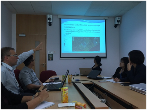
Besides the Master Classes, Robert met with officers from the Geography Unit of the Curriculum Planning and Development Division (CPDD) and academics from the National Institute of Education (NIE), and discussed with them the possible support structures for teachers who are interested in incorporating GIS in their lessons. Robert also had the opportunity to dialogue with schools participating in the ICT Good Practices @ Schools (IGPS) Community of Practice (COP) that was helmed by Educational Technology Division (ETD) and NIE. Robert was invited to participate and to share lesson ideas with the teachers, refining them together through constructive feedback. Finally, Robert had a dialogue session with the Heads of Department (HODs) as well as Senior Teachers (STs) and Lead Teachers (LTs) where they discussed the challenges and possible solutions of incorporating GIS in geography lessons.

Through the OEIR programme, Robert witnessed the use of GIS in Singapore schools and worked with teachers in developing geography lessons incorporating GIS. Robert believes that Singapore teachers can create lessons that focus on using GIS to enable higher order thinking and spatial reasoning in the students.

